Mapping the Imagined – From Fantasy Cartography to the Visualization of Ideas in Spatial Planning Maps

How can imagined worlds be mapped and what connects fantasy cartography with the visualizations used in spatial planning?
Drawing on her doctoral research, Katharina Henggeler explores how cartographic representations in spatial planning are used to visualize ideas, processes and future developments. Beginning with her own practice of fantasy mapmaking, the lecture examines the diverse functions of maps as tools for orientation, communication and imagination. By bringing together perspectives from fantasy cartography and planning practice, it offers fresh insights into how maps shape the design, understanding and perception of space.
Free of charge. Please register in advance. The event will take place on site at the Zentralbibliothek Zürich and will be held only in German.
Audio aids (including induction loops for hearing aids) are available for people with hearing impairments at ZB events (guided tours, courses, lectures). If required, please contact kommunikation@zb.uzh.ch.
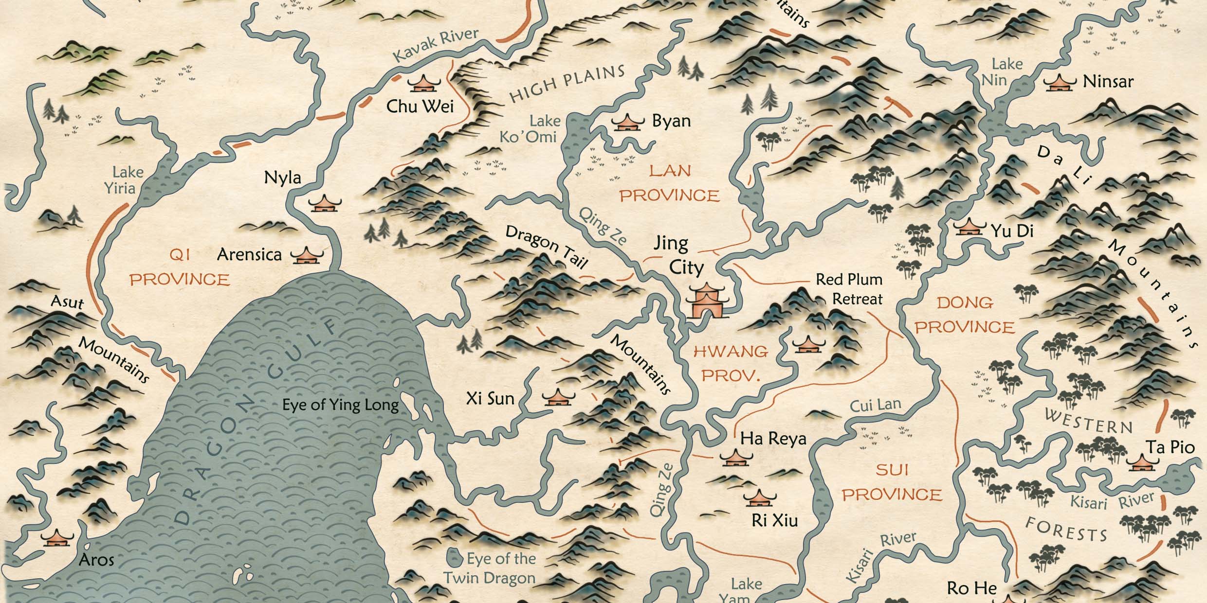
Figure: Thousand River Country, Katharina Henggeler, 2018.