Magnificent atlases – georeferencing old maps
More than 2,900 digitised maps from the most magnificent atlases in the Zentralbibliothek Zürich were geographically located by volunteers.
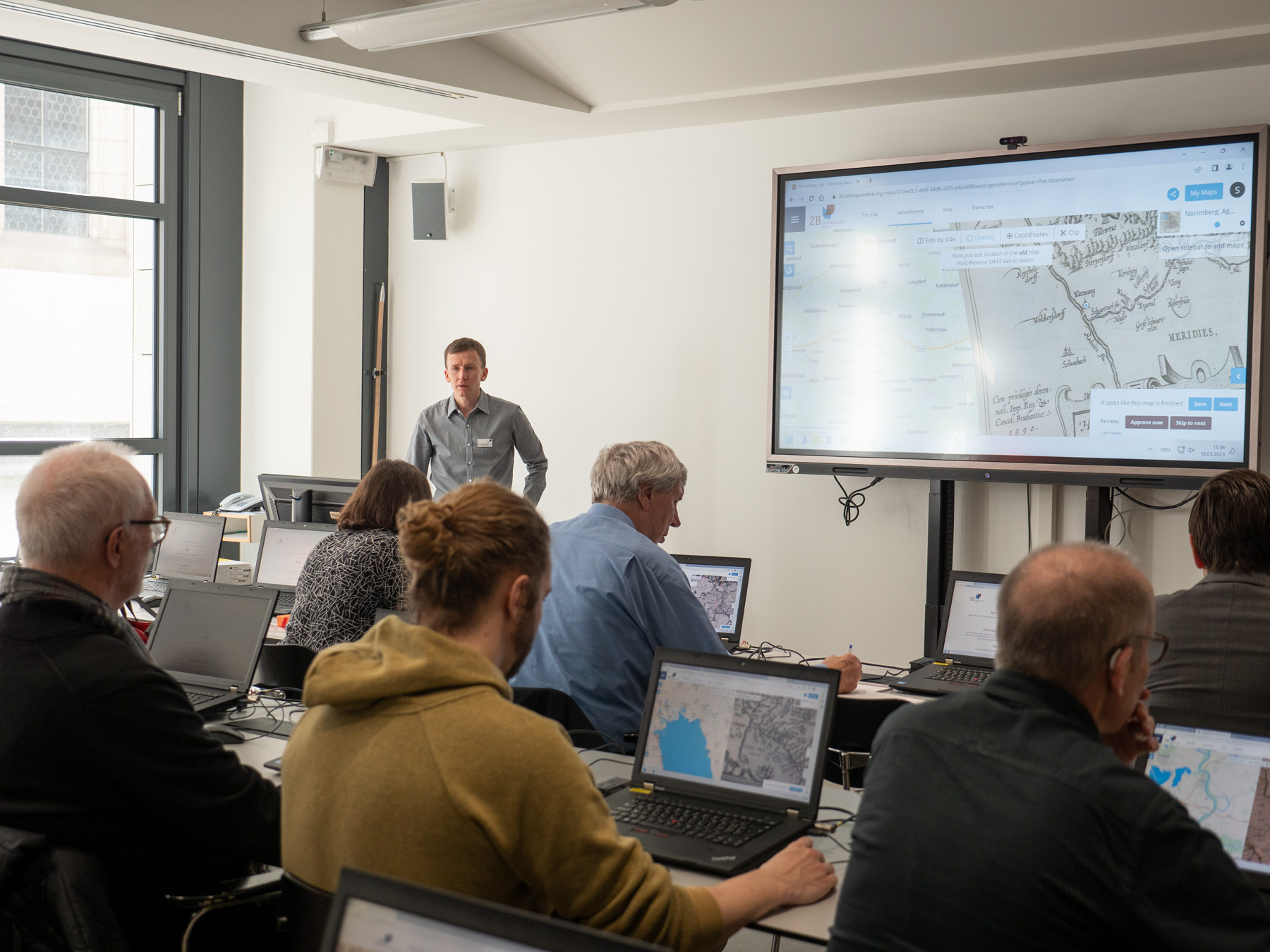
It was a fascinating journey of discovery through a veritable treasure trove of maps from old atlases: In a record time of one month, volunteers georeferenced all 2919 maps by identifying matching points on current and old maps. These were then automatically adjusted on a geometric level and can thus be compared more easily with current or other old maps. Georeferencing takes just a few clicks and is often an easy process, but it can sometimes pose greater challenges. The georeferenced map material is available to the public and researchers on the Old Maps Online platform.
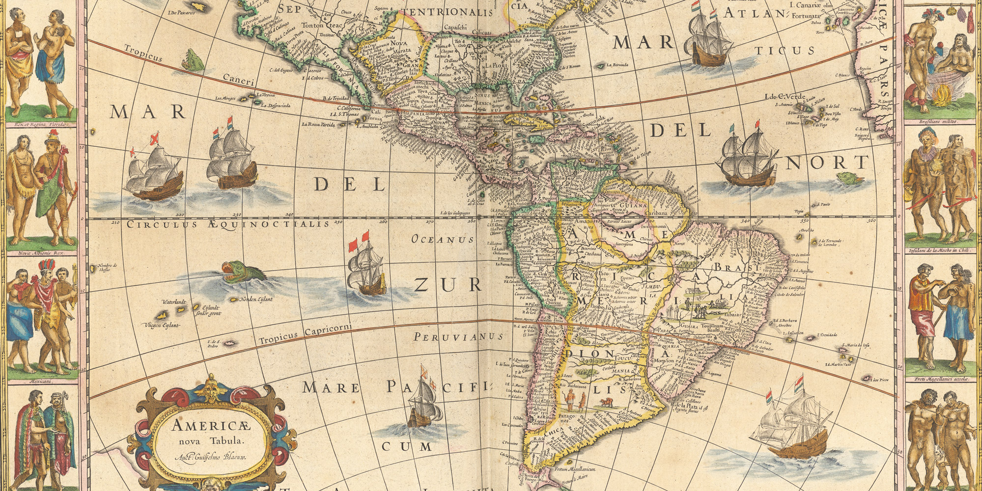
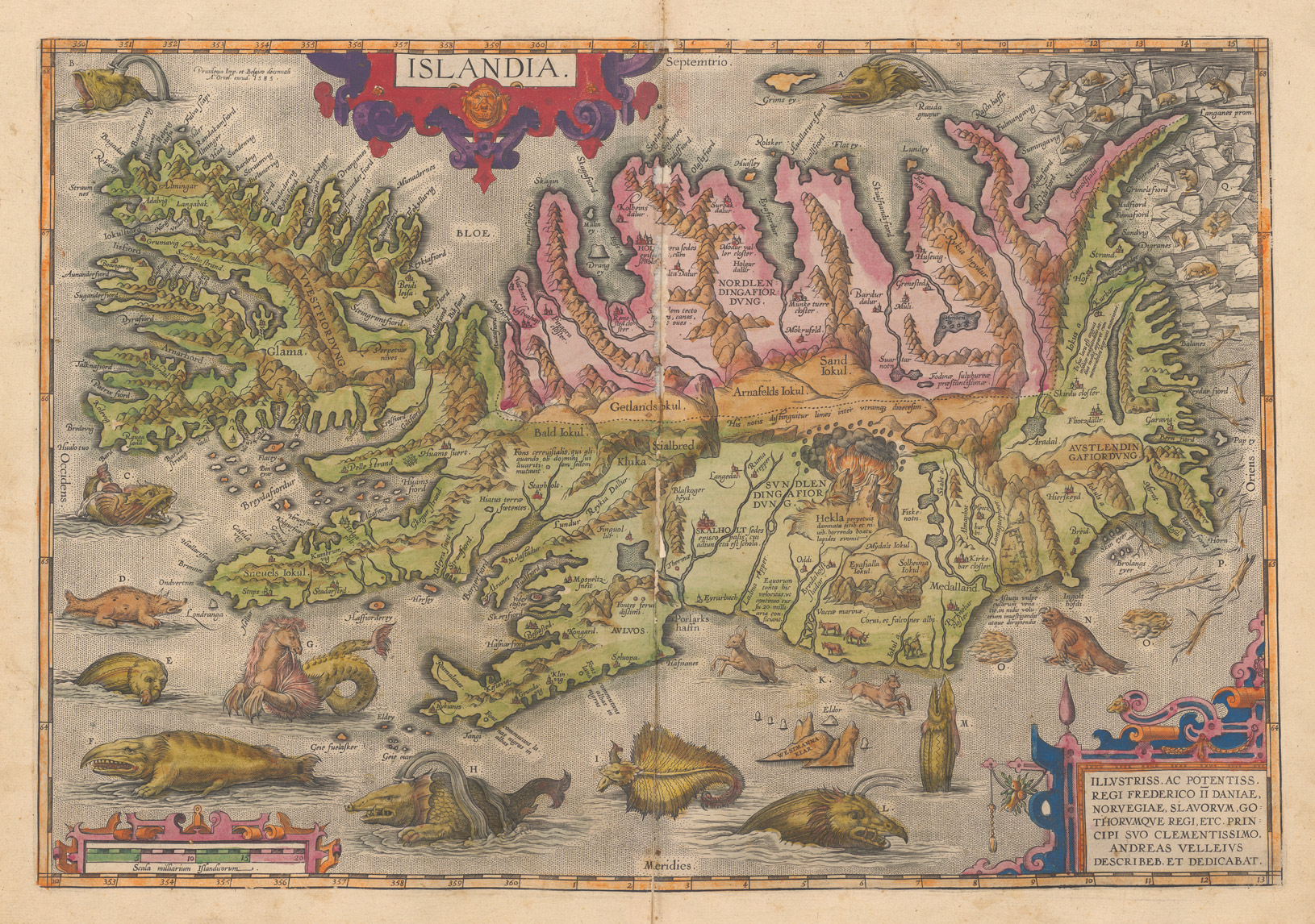
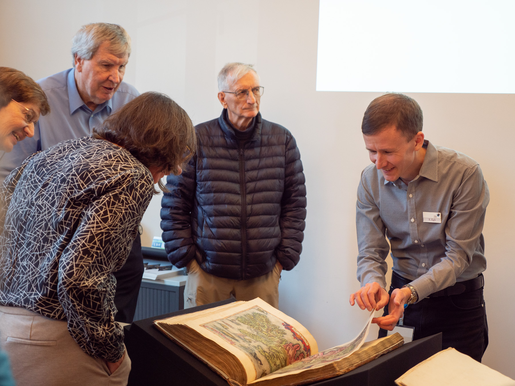
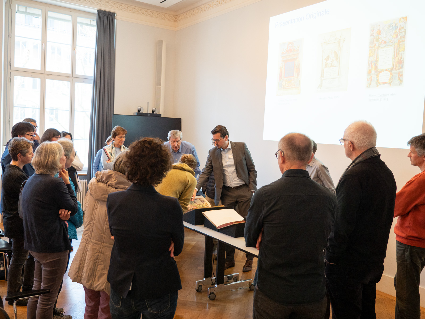
Maps from magnificent atlases from the 15th to 17th century were chosen for this project – and they are often stunningly decorated. The digitised maps are already available to the public on the e-rara platform, where they can be found in the ‘Magnificent Maps: From the Beginnings to the Golden Age’ collection.
The project is part of the Citizen Science strategic initiative by the Zentralbibliothek Zürich.
Introduction
The geographical locating of a map with "Georeferencer" on the web platform Old Maps Online was intuitive and usually did not require any prior specialised knowledge. Volunteers compared an old map with a modern map and marked points that they could identify on both: for instance, they could be settlements, distinctive features of a shoreline, islands, confluences of rivers or lake outflows, depending on the scale of the map.
Along with a short video tutorial, you will also find an introduction to the key steps. Additionally, the web platform contains an overview of all the georeferenced maps from the ZB’s holdings.
Georeferencing: from effortless to exacting
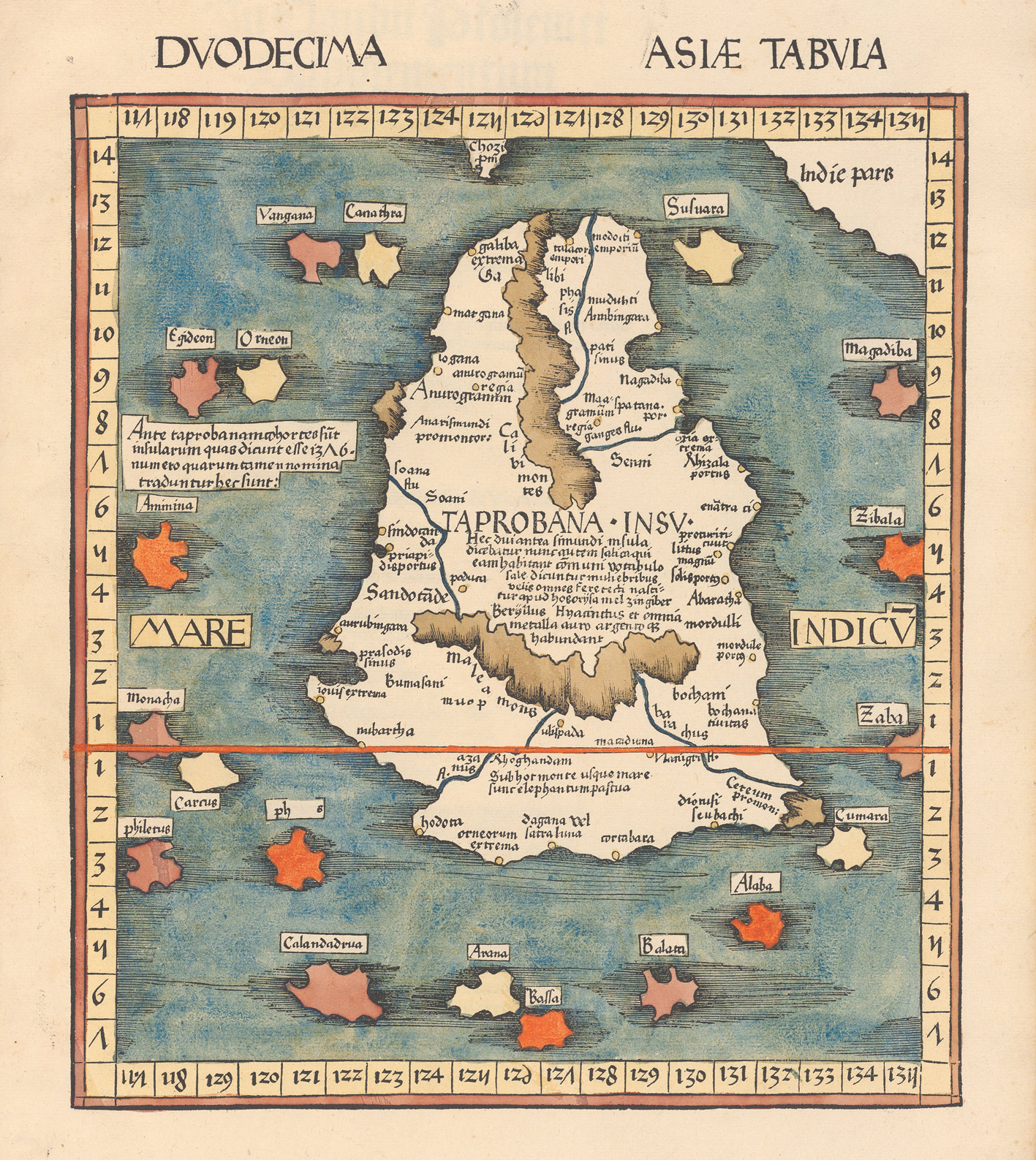
The georeferencing of the often elaborately designed maps was intuitive and in many cases relatively easy. Especially when the names of places or other geographical features match those that are still around today. It had to be taken into account that many maps were not oriented north at the time (today, we’re used to north being at the top of the map). Georeferencing maps with Latin titles, country names and place names was tricky and sometimes a major challenge. In certain cases, countries, islands and places have ceased to exist, territorial boundaries have been moved, or phantom islands appear on maps. Furthermore, the way in which the contours of land masses are depicted has changed over the course of the centuries as a result of new discoveries.
Ranking
|
Name |
Reference points marked |
| 7125 | |
| 6621 | |
| 4334 | |
| 3432 | |
| 3427 | |
| 2672 | |
| 2207 | |
| 1853 | |
| 809 | |
| 715 |
Event
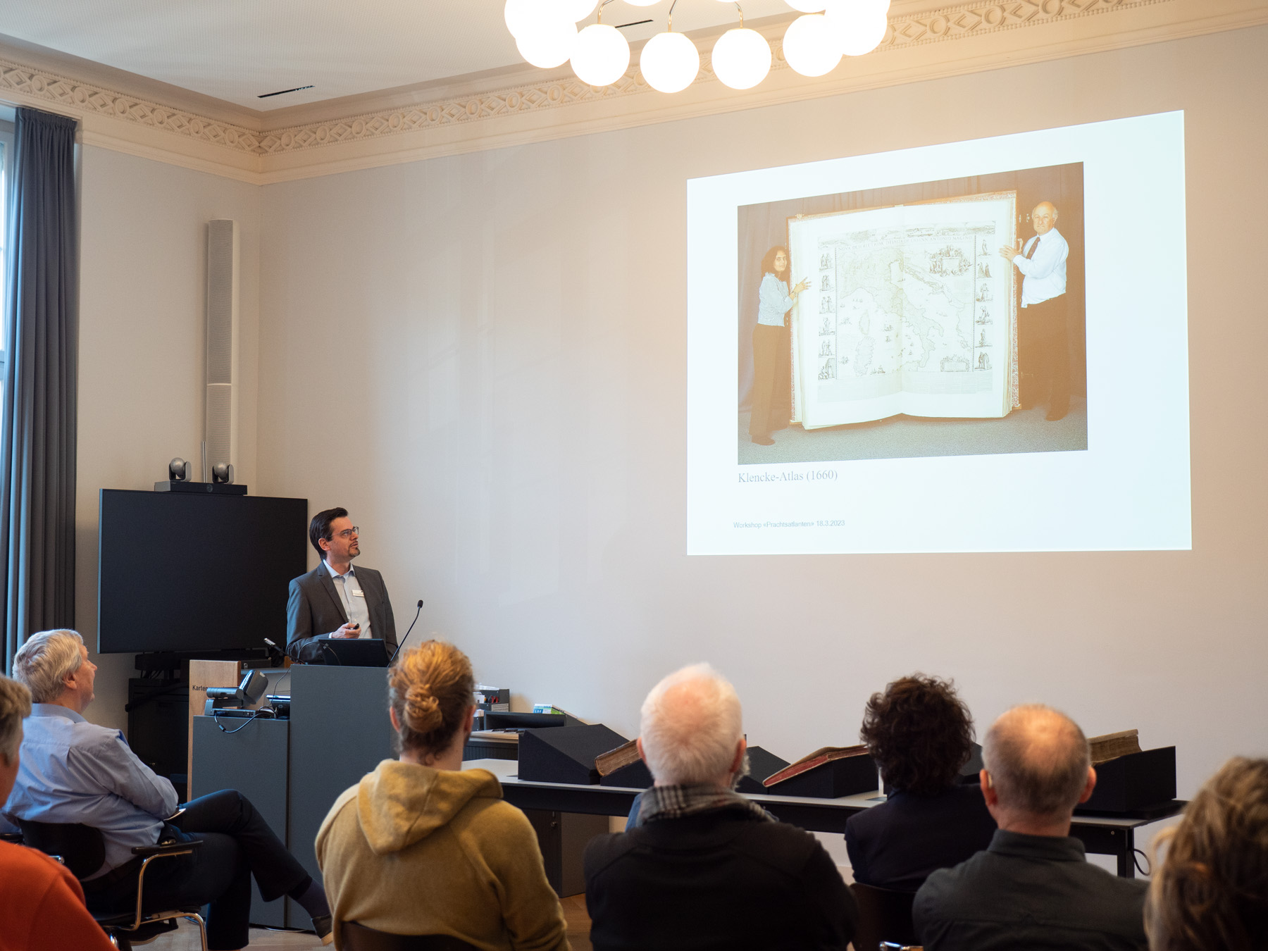
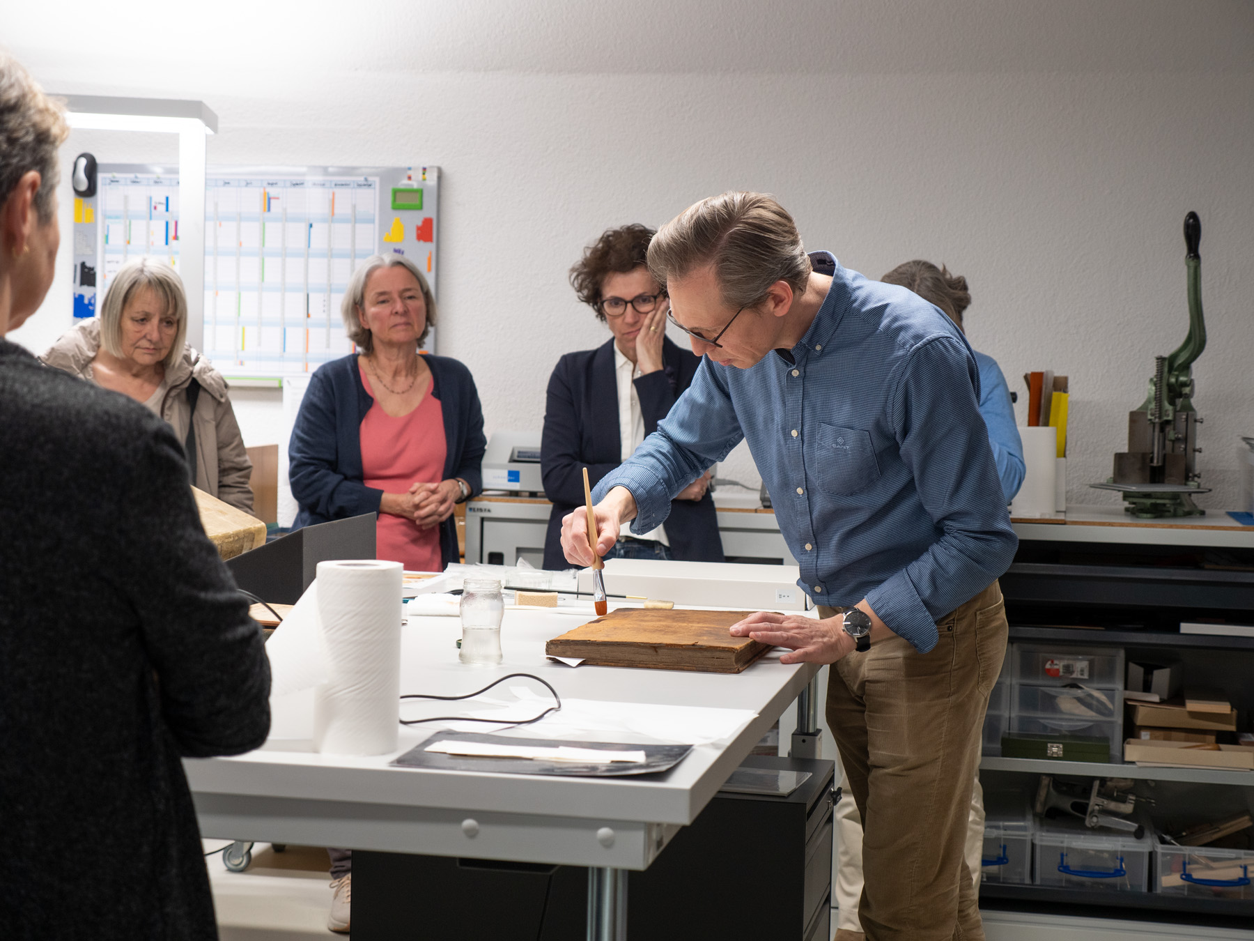
On 18 March we celebrated the end of the project at the workshop «Prachtsatlanten – alte Landkarten georeferenzieren». Many thanks to all those who took part!

Contact
Do you have any questions or comments about the project? Get in touch! We’re happy to help.
Maps and panoramas